From hiking in the forest to navigating to the best slice of pizza in New York City, GPS technology has transformed our everyday lives and become a mainstay in our travel and business sectors. For wildlife researchers, GPS technology has been nothing short of revolutionary. The first living being tracked from space was an elk, fitted with a cartoonishly large tracking collar by pioneering wildlife researchers Frank and John Craighead near Jackson Hole, Wyoming in February 1970. Dubbed ‘Monique the Space Elk’ by the national media, Monique’s rudimentary collar weighed a whopping 10 kg (the weight of an average car tyre), cost roughly USD 25,000, and boasted an average positional error of approximately 50 km² (about 10,000 football pitches).
Today, some 31 Global Positioning System satellites encircle the earth, providing geolocation information to GPS receivers almost anywhere with unprecedented precision (within 2–10 metres or better in optimal conditions). At the same time, the weight, storage capacity, and cost of GPS tracking devices have all improved significantly. These advancements have allowed for an increasing diversity of species—from meadowlarks to blue whales—to be tracked for days, months, or years at temporal resolutions (hours, minutes, or seconds) that would have seemed unimaginable during initial experiments so many decades ago.
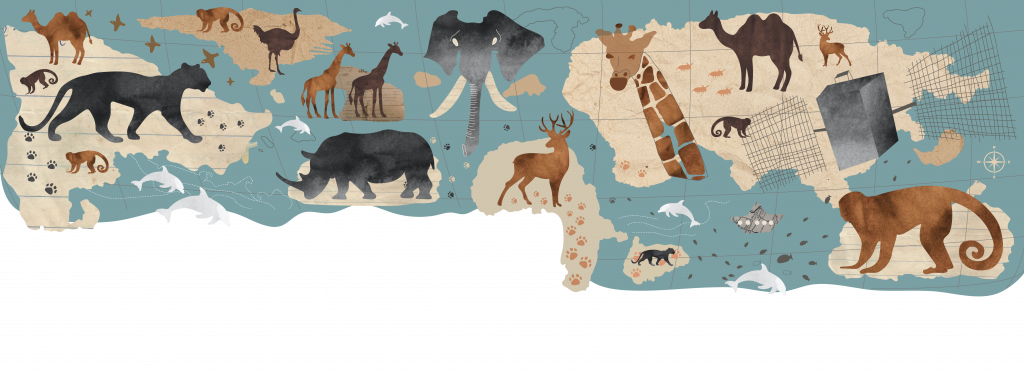
Countless discoveries have been made thanks to data collected via GPS. Researchers have mapped the migratory pathways of ungulates across the North American intermountain west, estimated the area requirements of Mongolian gazelle—an astounding 11 times the size of Yellowstone National Park, revealed the importance of collective decision-making in gregarious primates, and assessed the role of long-term memory in how marine and terrestrial mammals select resources. These findings illustrate a brief snapshot of the breadth of research being conducted by scientists globally using GPS and highlight the importance of this technology in spurring scientific discovery.
Nearly concurrent to the development of GPS technology, earth scientists were also looking to the stars to better understand our changing planet. The recent launch of Landsat 9 in September 2021 marks an almost 50-year record of earth observation, with satellites capturing the entire surface of the earth every eight days at roughly 30-metre spatial resolution. Importantly, these data have been made freely available to the global science community, promoting a surge in earth science research and discovery. Data collected from successive satellite missions has led to a better understanding of agricultural productivity, changes in land-cover, forest health, water quality, climate, and even variation in the size of the polar ice cap. By linking these remotely sensed data sources and their derivatives with animal tracking data, researchers have appropriately taken advantage of the vast quantity of information now available to conduct global-scale analyses. These activities are providing an improved understanding of the range of conditions that are driving changes in the persistence of long-range species migrations and most recently, are providing insight into how animals are responding to reductions in human activities resulting from COVID-19 restrictions.
This ability to monitor shifts in animal movement at large spatial scales is increasingly important as anthropogenic pressures drive the alarming loss of animal migrations globally. The Cornell Lab of Ornithology, for example, estimates that nearly three billion migratory birds have been lost since 1970, representing a 28 percent decline in bird abundance over the past half-century. Studies led by researchers from Utah State University also show that large-bodied herbivores may be at the highest risk of extinction, with barriers from development further limiting the ability of animals to move and acquire the resources required for survival. These findings are concerning on many levels, but perhaps most importantly because animal migrations facilitate the redistribution of energy. The hooves of approximately 1.3 million migrating wildebeest, for example, aerate the soil with every step, circulating nutrients contained within their feces throughout the ecosystem, forming the foundation for ecological food webs and giving rise to diverse biological communities and burgeoning local economies.

To address the mounting challenges of these declines, researchers have joined forces to encourage information sharing and increase the diversity of species being tracked. As an example, researchers at the Max Planck Institute of Animal Behavior initiated Movebank in 2007, a free and online digital archive for tracking data that now contains nearly three billion tracking locations from over 1,000 species. More recently, initiatives like the Migratory Connectivity in the Ocean (MiCO) and the Global Initiative on Ungulate Migration (GIUM) have (literally) begun putting migrations on the map, with the aim of engaging policy makers and government officials with data highlighting actual movement pathways from tracked animals, to inform decision-making processes.
Still, much work remains to be done to increase the range of species that can be monitored effectively. Current GPS tag weight limits are around 5g, far too heavy for around 70 percent of birds and 65 percent of mammals that call our planet home. Various developers are pushing on this weight limit boundary, with low power GPS tags now as small as 1g that work for short periods—weeks or potentially months, if the frequency of data collection is reduced to less than a few points per day. Scientists associated with the ICARUS initiative are pushing on these restriction thresholds by developing a solar powered tag that could collect hourly data for multiple years, transmitting data on individual animals to a low-orbit receiving antenna attached to the International Space Station. Others, such as non-profits like Smart Parks, are taking advantage of technological spillover and working with a growing community of scientists and engineers to openly share their designs, creating new cost-effective solutions. Continuing to push these technological boundaries offers promise in increasing our understanding of migration, with fine-scale data that can be incorporated into analyses to assess species responses to human-driven environmental change.
These new data streams, however, are complicated in nature and require a unique set of skills to analyse. As a result, collaboration is again necessary to facilitate the sharing of new skills and ideas, often from other disciplines like physics or computer science, to ‘crack the code’ and develop tools that make use of the fine-scale data being collected. The Continuous-Time Movement Modeling framework represents a good example of years of development by quantitative ecologists working together globally, all the while aiming to democratise tools to the broader scientific community through user-friendly interfaces and specialised trainings (i.e., AniMove).
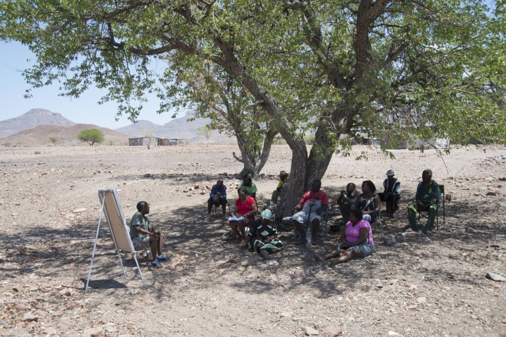
To save animal migrations from disappearing altogether, researchers must continue to push on these technological and analytical boundaries. In addition, researchers will need to broaden collaborations with other researchers, with officials in government and non-government organisations, and with members of local communities where studies are focused. Saving migratory routes will require researchers to connect with audiences beyond traditional academic outlets to provide results in a format that will inspire policy makers and the public to preserve and protect this invaluable phenomenon. Institutions could facilitate this process by evaluating employee contributions to outreach and communication as part of annual performance reviews. At the same time, researchers could create engaging learning opportunities for students by developing lesson plans with educators to showcase the near real-time tracking data being collected (such as the annotated track of a female pronghorn known to researchers as 700031A, as she traverses a diverse land-use matrix in central Wyoming). Indigenous knowledge about contemporary or even extinct migrations could also be incorporated into analyses where data are lacking. Lastly, training the next generation of scientists with the new tools that are being developed is also critical, inclusive of funding opportunities to facilitate trainings in countries where access to resources is more limited. If COVID-19 has taught us anything, it is that global communication networks are allowing us to communicate across continents and time zones like never before. While virtual meetings and seminars are no substitute for developing long-term relationships with partners, they do offer more cost-effective means (and a reduced carbon footprint) to build the required set of skills to analyse data with partners globally.
While the field of movement ecology is a relatively young discipline (formalised in circa 2008), tremendous opportunity exists to build upon promising early achievements. Future studies will likely focus on broadening the historically narrow emphasis on tracking single taxa and individuals, with greater attention on ecosystem- wide interactions between different species. Technology has certainly helped spur this revolution forward, but saving these migrations will require an explicit focus on collaboration between local and international institutions, necessitating scientists to step beyond their comfort in academic dialogue to use data collected to impact decision-making processes and better engage the public. As shown effectively by the Census of Marine Life’s Tagging of Pacific Predators (TOPP) project, migration knows no political boundaries. Therefore, saving migrations requires government officials at the highest international levels to develop agreements of mutual interest to find ways to facilitate connectivity across rapidly changing land and seascapes.
Further Reading:
Harrison, A. L., D. P. Costa, A. J. Winship, S. R. Benson, S. J. Bograd, M. Antolos, A. B. Carlisle et al. 2018. The political biogeography of migratory marine predators. Nature Ecology & Evolution 2: 1571–1578.
Kauffman, M. J., F. Cagnacci, S. Chamaillé-Jammes, M. Hebblewhite, J. G. C. Hopcraft, J. A. Merkle, T. Mueller et al. 2021. Mapping out a future for ungulate migrations. Science 372 (6542): 566–569.
Kays, R., M. C. Crofoot, W. Jetz, M. Wikelski. 2015. Terrestrial animal tracking as an eye on life and planet. Science 348 (6240).