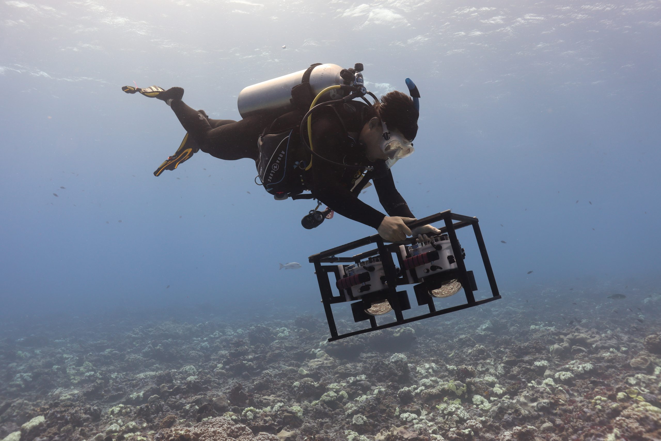
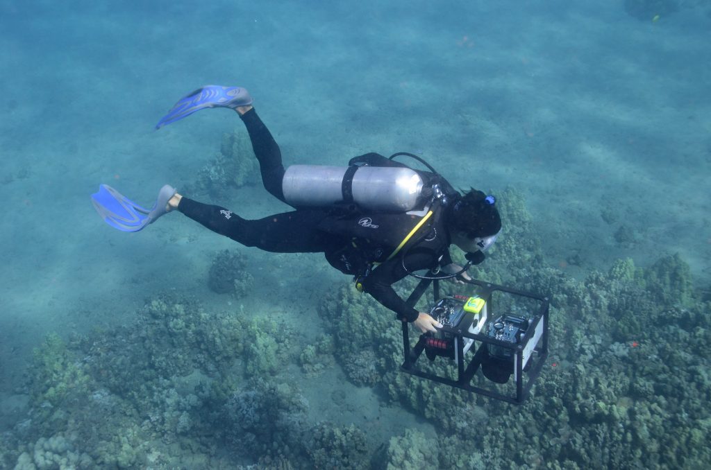
Feature image: A diver collects imagery of a coral reef that will be stitched together into a 3D model.
Technology often makes it feel like we are living in the future. For example, the last time I visited the dentist, the hygienist stuck a camera in my mouth, snapped hundreds of pictures in a matter of seconds, and then showed me a photo-realistic 3D model of my teeth (clearly identifying spots where I need to floss more). When I left the clinic, I opened Google Maps to get directions and was able to visualise a 3D reconstruction of the city block I was standing on. As I walked to my destination, I read a news article on my phone about an archaeological site halfway across the world, and was able to virtually tour a 3D reconstruction of the site generated from overlapping pictures.
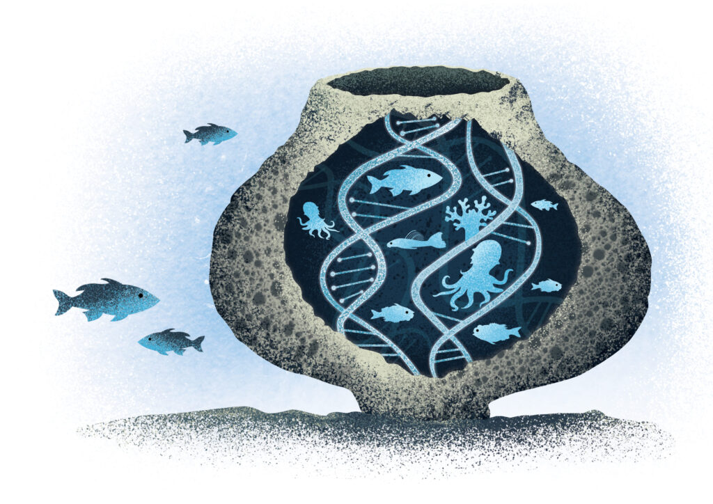
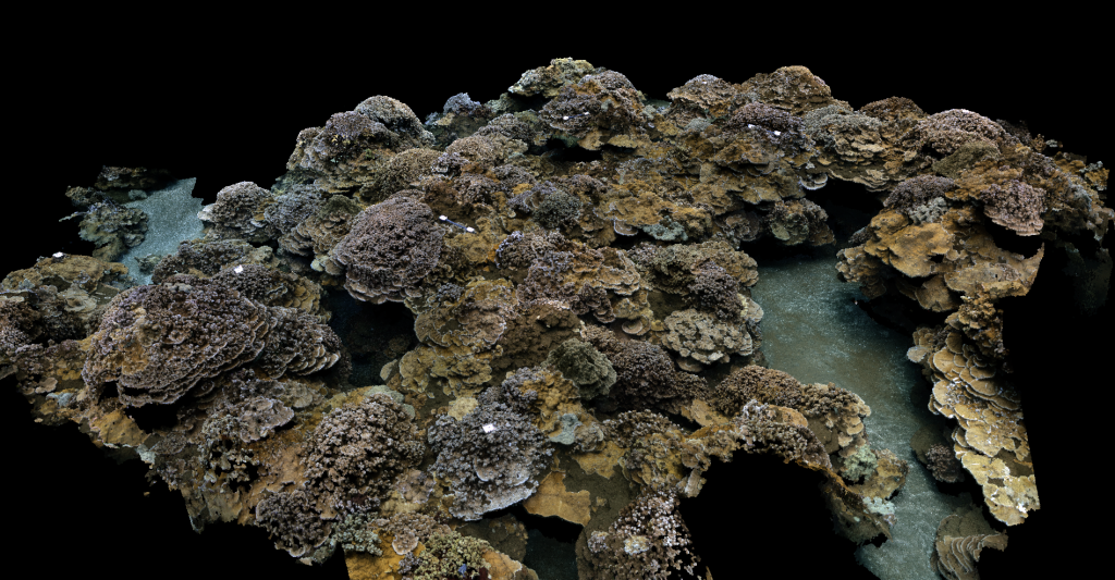
These innovations are all examples of a technology called large-area imaging, a type of photogrammetry that uses multiple overlapping images to reconstruct a high-resolution 3D model of a stationary object or environment, from the inside of my mouth to the Colosseum.
Beyond these everyday applications, large-area imaging also has immense potential as a conservation technology. Photo-realistic 3D models of ecosystems can provide a snapshot of environmental conditions and act as a visual record of change. Importantly, for places that are difficult to access—such as marine ecosystems—3D models can serve as a platform for researchers to conduct “virtual fieldwork” and for the general public to “visit” a remote place they would otherwise never get to see.
Large-area imaging has been used with increasing frequency in the marine sciences. In a recent study, led by Dr. Orion McCarthy from the Scripps Institution of Oceanography, we examine trends in the application of this emerging technology, focusing specifically on coral reefs. As part of our study, we also asked coral reef scientists and conservation practitioners how they would like to use large-area imaging, what obstacles they faced in trying to use large-area imaging and how those challenges could be overcome.
We found a mismatch between current research using large-area imaging and the research priorities identified by our survey participants. Despite the many potential applications of large-area imaging for conservation and the immense conservation needs of coral reefs, we found that few studies to date have utilised large-area imaging for applied conservation science, whether it is for tracking the fate of coral restoration projects or evaluating the effectiveness of marine protected areas. Instead, the bulk of research using this technology has focused on a narrow range of topics and has been conducted primarily by researchers based in wealthier countries. Furthermore, our survey participants identified many barriers to adopting large-area imagery, such as equipment cost, technical expertise and staff capacity.
Without taking concerted steps to make large-area imaging more accessible, we risk excluding researchers in less affluent countries, perpetuating parachute science and conducting research that is out of step with the needs of conservation practitioners. Scientists at well-resourced institutions that currently use large-area imaging have served as pioneers of this technology. These same researchers now have an ethical responsibility to make large-area imaging more accessible by facilitating the transfer of technology from the ivory tower to the hands of conservation practitioners.
Based on feedback from our survey participants, we provide a set of recommendations to improve the accessibility of this technology for marine conservation. This includes developing training materials, hosting workshops, fostering partnerships for data processing and analysis, establishing clear communications with partners, publishing clear pipelines and standardised methods, working with developers to improve the software and conducting conservation-relevant research using large-area imaging. These steps, among others, will help to maximise the positive impact of this emerging technology for conservation
Acknowledgements:
We would like to thank everyone who took or helped distribute the ‘Coral Reef Scientist and Conservation Practitioner’ survey, with special thanks to the respondents who took the time to discuss their survey responses in depth with us. Their interviews were instrumental to the development of the recommendations proposed here.
Further Reading
McCarthy O.S., K. Contractor, W.F. Figueira, A.C.R.Gleason, T.S. Viehman, C.B. Edwards and S.A. Sandin. 2024. Closing the gap between existing large-area imaging research and marine conservation needs. Conservation Biology 38(1): e14145. https://doi.org/10.1111/cobi.14145.