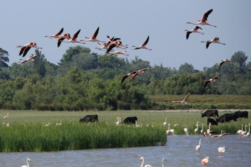
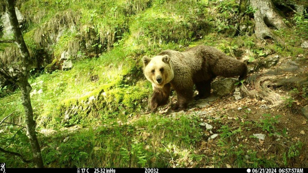
Bears, elk, lynx, and other wildlife roam to find food, reproduce, or adapt to a changing environment. It is increasingly difficult for wildlife to move between protected areas, such as National parks, because the landscape is highly divided by differences in habitat condition, as well as the legal authority to change it. Conservation planners rely on maps of habitat and land ownership to identify the best locations for conserving corridors for wildlife movement. Researchers have recently devised a way to highlight practical opportunities to build wildlife corridors by mapping different types of legal authority.
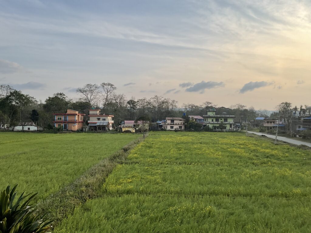
Demonstrating the new approach in Okanogan County, Washington, northwestern USA, this study shows how local decisions affecting habitats along streams can provide options for wildlife to move between the Cascade Range and the Rocky Mountains. Along rivers and streams, numerous authorities and small conservation projects aim to improve river health, reduce flood or erosion hazards, and protect fish and wildlife habitat by planting trees, shrubs, or grasses. If individual projects (such as tree planting events) were viewed within the larger picture of rebuilding corridors, these efforts could be coordinated to achieve added benefits to wildlife.

With locally customized maps showing habitat and legal authority along river networks, government agencies or conservation organizations can coordinate individual projects to achieve larger goals. For example, they can prioritize areas where small habitat improvements could contribute to an emerging wildlife corridor, or areas where the high-quality habitat needs only additional protection to ensure it will be maintained. Viewers can identify areas where small land acquisitions or conservation easements would fill gaps along a possible corridor without any new laws. Key areas of overlapping authority may also highlight opportunities to leverage river restoration dollars for wildlife. Future work will include mapping larger areas and exploring related data sources to deepen our understanding of both social and natural dimensions of conservation.
Further Reading Stahl, A. T., A. K. Fremier and B. A. Cosens. 2020. Mapping legal authority for terrestrial conservation corridors along streams. Conservation Biology 34: 943-955.