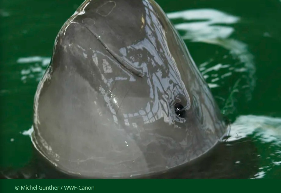
Marine protected areas (MPAs) are regions of restricted human activity that are maintained for the purpose of conserving and restoring marine biodiversity. Globally, over 27 million km2 of designated MPAs are being actively managed, costing over 1 billion US$ per year to maintain. To evaluate the success of MPA management, routine biodiversity and habitat surveys are required. Repeated monitoring of such large areas incurs major financial costs and poses significant logistical challenges in terms of data acquisition, storage, processing, and analysis. The diverse habitat structures and sediment types present in the marine environment typically call for different sampling methods and instruments (e.g. grabs, trawls, towed cameras). This limits the use of a standardised monitoring protocol, leading to variation in the spatial scale of observation (grab 0.2 m2; photograph 2 m2; trawl 2000 m2), the data type (e.g. sediment sample, trawl catch, seabed imagery), and the taxonomic groups assessed, making it difficult to compare marine habitats. More recently, the use of autonomous underwater vehicles (AUVs) in marine scientific research has permitted quick, non-invasive in situ data collection in a wide range of habitats, at substantially reduced survey cost. AUVs are unmanned systems that follow pre-set directives to survey an area and collect different types of ecological data, such as seafloor digital and acoustic imagery, or measurement of temperature, salinity, pressure, or turbidity.
In an article in Conservation Biology, Benoist et al. (2019) examined whether AUVs are effective in describing diverse seafloor habitats and their associated biodiversity. The study used digital imagery data collected from a survey in the Greater Haig Fras MPA located in the Celtic Sea (NE Atlantic) at a water depth of 100 m. The authors studied the photographs to assess the abundance and distribution of large invertebrates (e.g. anemones, crabs, sea stars) and fish living on or near the seafloor. They found that the underwater drone data successfully detected significant differences in biodiversity, biomass, and species composition between the different habitat types. Their results demonstrate that AUV imagery can produce accurate and precise data for seafloor monitoring. Benoist et al. (2019) also tested how the size of a sampling unit defined for AUV images affected the ecological data that was generated.
The authors suggest that the size of the sampling unit should be based on a minimum number of individuals rather than the more conventional method of fixed seafloor area. In other words, a sample is defined as the number of photographs required to get a minimum number of individuals. This approach may be particularly valuable where animal abundance varies between habitat types; for example, in the Greater Haig Fras MPA, on average 100 specimens can be estimated in 40 m2 of rocky reef, whereas on coarse sediments, 1000 m2 must be surveyed to encounter the same number of specimens.

AUVs have been available for some years now with several commercial providers worldwide. They offer a practical solution for cost-effective and standardised monitoring of marine habitats and biodiversity. This is important for conservation practitioners who need routine understanding of the health of a protected marine system in order to evaluate the success of MPA management. As such, AUVs may be able to play a key part providing a practical solution for effective monitoring and therefore management of the world’s growing network of MPAs.
Further Reading:
Benoist NMA, Morris KJ, Bett BJ, Durden JM, Huvenne VAI, Le Bas TP, Wynn RB, Ware SJ, Ruhl HA. 2019. Monitoring multiple biotopes in a marine conservation zone by autonomous underwater vehicle. Conservation Biology, in press. DOI https://doi.org/10.1111/cobi.13312